Geofences
Overview
Geofences allow you to define geographic regions on a floor plan that help you with asset tracking workflows. A geofence can be a rectangular, circular or a more complex region defined by a polygon. Our platform will generate events once an asset enters or leaves the geofence. You can use this to implement workflows or monitoring of assets. Due to the inaccuracies of asset tracking with BLE, for reliable geofencing it is recommended the geofences to have a minimum size of 8 meters. Otherwise geofencing will not work reliably.

Managing Geofences
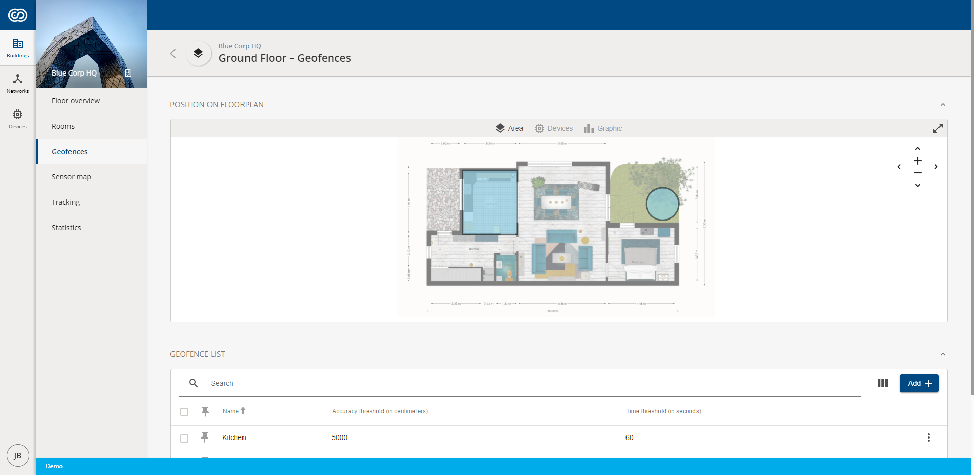
A geofence is created by going to > "Your Building" > "Your Floor" and by clicking on Geofences. You can then chose to add a new geofence.

In this modal, you can specify the geofence, its name and other parameters relevant for tracking. A geofence can be a rectangular area, it can be circular or you can chose to use a polygon to specify the region that you are interested in.
The shape of a geofence can be changed in the same manner as a room. See Creating a Room for more detailed instructions.
When editing the details of a geofence, you can modify its name, give it a short description and fill out information such as the time that a trackable tag must stay within this region before it is considered to have entered or left this region. Additionally, you can specify an accuracy threshold in meters that must be met before the tag can enter/leave the region. This is relevant information that is used when generating geofence events in our platform.
Using Geofences
Geofences will trigger LEFT and ENTERED states if asset tracking is active. Please refer to the geofenceEvent that is published according to our MQTT API.
This event will only trigger after the Tag has entered or left the region for a time that is longer than the defined time threshold. A hysteresis will be applied to check the accuracy threshold.